What Warming Tropical Atlantic Temperatures Now Could Mean For The 2024 Hurricane Season
The tropical Atlantic Ocean is seeing record warm temperatures, ones that are normally seen in July. Scientists let us know if this will impact how strong the 2024 hurricane season will be.

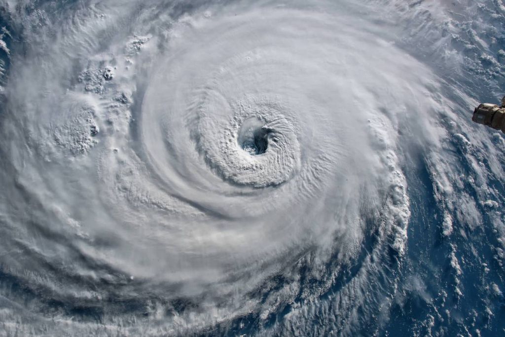
The start of hurricane season may be three months away still, but ocean temperatures in the tropical Atlantic say otherwise. In the part of the tropical Atlantic where storms usually form in the summer, current February sea surface temperatures are close to temperatures seen in July.
The Signature
In the last 8 hurricane seasons, 7 have been above normal. The current warming raises concern for yet another active hurricane season. La Niña will replace El Niño in the late summer into early fall. La Niña brings an active Atlantic hurricane season. Something else La Niña brings to the table is discouraging wind shear. Lack of wind shear allows storms to organize and strengthen.
It is still too early to say if this ocean warmth will last or when La Niña conditions will actually begin. All of these factors considered, however, trends suggest it will be hard to avoid an active season, which begins June 1.
Last hurricane season, El Niño was in place. El Niño is the biggest indicator of a lower than average hurricane season in the Atlantic. During El Niño, there is a surge of warm water in the central and eastern Pacific. The surge triggers changes in the atmospheric circulation on the other side of the planet, therefore making more difficult for tropical systems to develop.
In 2023, NOAA predicted a mostly average hurricane season, but turned out to be wrong. The ocean temperatures were warm enough to counteract El Niño. It ended up being a 20% more active season than normal.
Best Spot in the House
In the main development region for hurricanes in the Atlantic, sea surface temperatures are above normal. The current 1.1 degrees Fahrenheit (0.6 degrees Celsius) is higher than any other year on record. If this trend continues into the summer, it would make a prime environment for tropical development.
Main (tropical) development region sea surface temperature trend July Aug Sept. 2023 sticks out like a sore thumb. Let's see how 2024 shapes up! Or let's not and say we did? pic.twitter.com/MDyw935fIX
— Jeff Berardelli (@WeatherProf) February 16, 2024
Also happening now are weak winds. Weak winds decrease evaporation. Evaporation would allow water to cool by the transfer of heat from water to air. Models are currently showing weak winds from now into early March, keeping water temperatures warm. Warmer water fuels hurricanes, leading to stronger storms.
If You Gaze into the Future
The long term models show sea surface temperatures to remain elevated. By mid-hurricane season, between August and October, precipitation looks to be above normal across the tropical Atlantic.
“Even if ocean temperatures trend closer to normal, there is still far more heat in the waters that could be available for storms come summer and fall. This is such an extreme case that it doesn’t bode well” says Michael Lowry, a meteorologist with WPLG-TV in Miami and a former National Hurricane Center scientist.
Sea surface temperatures across the Atlantic Main Development Region (MDR) where most of our Category 3 or stronger hurricanes form during the peak months of hurricane season are as warm today in mid-February as they typically are in middle July. Incredible. pic.twitter.com/je827vTYmU
— Michael Lowry (@MichaelRLowry) February 14, 2024
Across the globe, there is a pattern of warm sea surface temperatures. This has been fueled by El Niño and anthropogenic climate change. According to the University of Maine’s Climate Change Institute, there was an all-time record for the planet’s average sea surface temperature, topping out at 70.2 degrees Fahrenheit (21.2 degrees Celsius).
Even with all of this information, it is still too early to see how this will affect hurricane season. Official hurricane and seasonal forecasts are still a few months out. Scientists are also still not entirely sure how the ocean behaves and how or what triggers long term changes in tropical weather. There is also uncertainty in why the Atlantic is warming faster than other oceans.


