The US expands under the sea: It acquired an area equivalent to the entire Argentine Patagonia
The United States expanded its underwater territory by almost 1 million km². The expansion protects their rights to marine resources and highlights the strategic incorporation of the Arctic.

The United Nations Convention on the Law of the Sea (CONVEMAR) establishes that all countries have the right to a continental shelf of at least 200 nautical miles (370 km) from their coastal baseline. However, countries can submit a request to the United Nations Continental Shelf Boundary Commission to extend their continental shelf beyond 200 nautical miles, if they can demonstrate that their continental margin naturally extends beyond that limit.
This is the case of the United States of America, which silently increased its area by almost 1 million square kilometres by expanding its continental shelf. This area is practically equivalent to all of Argentine Patagonia or twice the surface of Spain.
The continental shelf is an area of territorial waters over which a country has complete sovereignty. By extending it, that nation acquires the right to explore that territory and to exploit natural resources, such as oil, natural gas, minerals and fish.
The United States is an important maritime nation with the largest exclusive economic zone in the world, and this historic step protects its sovereign rights over vast additional underwater areas.
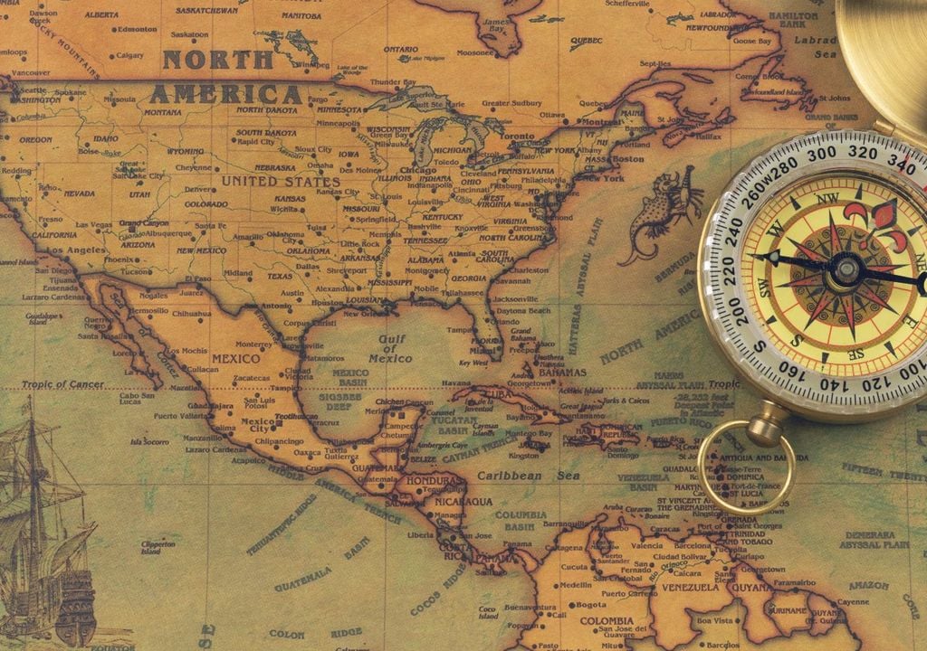
The United States Department of State (DOS) included in its maps the submerged marine areas - outside the 200 nautical miles - of six regions in the Atlantic (east coast), the Arctic, the Pacific (west coast), the Bering Sea, the Mariana Islands and the Gulf of Mexico. "The continental shelf is the extension of the terrestrial territory of a country under the sea. Like other countries, the United States has rights under international law to conserve and manage vital resources and habitats on and under its platform," the Department said in a statement.
The U.S. grew by more than 386,000 square miles in size recently, following the expansion of the extended continental shelf claimed as U.S. territory. pic.twitter.com/4AZZcgVoLC
— Adam Polder (@Adam_Polder) January 13, 2024
The largest acquisition is that of the Arctic, whose platform extended a distance of 350 nautical miles (648 km) to the east and more than 680 nautical miles to the west (1,260 km) from the baselines of the territorial sea of the United States. By defining these limits, the country carries out its Arctic policy established in the National Strategy for the Arctic Region.
Although at the moment these new limits do not present conflicts with Russia, if they partially overlap with areas of the platforms of Canada, the Bahamas and Japan.
Twenty years of evidence
The process of submitting an application to the Continental Shelf Boundary Commission is complex and costly. Countries must provide the Commission with scientific evidence demonstrating the extent of their continental margin.
USA on their own initiative want to expand territories by one million square kilometers at a time in part of the continental shelf in the Arctic, according to the State Department: The extended continental shelf covers the territory in the Arctic and the Bering Sea
— ️sLOVEnia ️ (@occultni) December 29, 2023
pic.twitter.com/hEtUgO5Xsn
The collection of this evidence was carried out by a work team composed of 14 U.S. government agencies, among which are the National Oceanic and Atmospheric Administration (NOAA) and the United States Geological Survey (USGS). Since 2003, specialists have collected data on the depth, shape and geophysical characteristics of the seabed and the subsoil.
"See forty missions at sea, going to areas that we had never explored before, finding entire seamounts that we didn't even know existed," said State Department project manager Brian Van Pay. "And if you add up all the time that our scientists spent at sea, it's more than three years of submerged data collection."
To date, 75 countries have submitted their evidence to CONVEMAR and extended their territory. However, the United States is the first time it has been done. In a world where climate change and environmental protection are at the forefront of political interests, the United States also has the ability to make a political decision to conserve these areas, as well as to advance scientific study and exploration in deep-sea regions that are not well mapped or understood," the agencies explained.
Reference of the news:
Announcement of U.S. Extended Continental Shelf Outer Limits, U.S. Department of State


