Why are lightning strikes so rare inside tropical cyclones? The case of Hurricane Beryl in the Caribbean
Hurricane Beryl officially opened the Atlantic hurricane season ahead of the normal schedule. And it was immediately one record after another. In just a few hours, the storm reached category 5 on the Saffir-Simpson scale, becoming the earliest and most violent hurricane ever recorded in the Atlantic.

Hurricane Beryl officially opened the Atlantic hurricane season ahead of the normal schedule. And it was immediately one record after another. In just a few hours, the storm reached category 5 on the Saffir-Simpson scale, becoming the earliest and most violent hurricane ever recorded in the Atlantic.
Beryl also surpassed the previous record held by Hurricane Emily, which reached Category 5 status on July 16, 2005. Another notable aspect of Beryl was its rapid intensification from a tropical storm to a Category 3 hurricane .
Why did Beryl escalate so quickly?
Hurricane Beryl turned into a real monster thanks to the large quantities of latent heat provided by the Atlantic Ocean, much warmer than normal. The heat content of the Caribbean Sea today is normally what is recorded in mid-September.
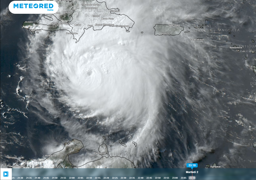
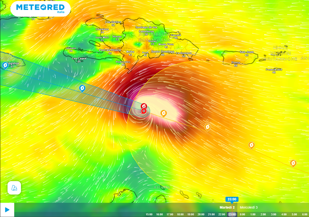
According to the NHC, Beryl has become a potentially catastrophic Category 5 hurricane in the Caribbean. In its summary of July 2, 2024 at 06 UTC, the hurricane was located 715 km east-southeast of Beata Island, Republic D, and 1245 km east of Kingston, Jamaica, with maximum sustained winds of 270 km/h and stronger gusts.
In 2024 we could have several Category 5 hurricanes. It is becoming increasingly important to implement a new category of superhurricanes: Category 6. In an increasingly warmer world, with warmer tropical and subtropical seas and oceans, it will be easy to see the development of many major hurricanes.
Lightning strikes around Beryl's eye
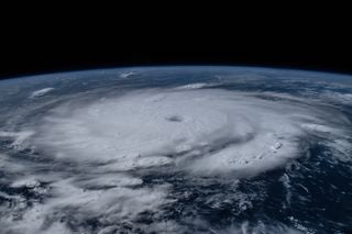
The hurricane is characterised by a spectacular eyewall, the convective ring that borders the eye. There are enormous convective bands, over 16/17 km high, which pour down torrential rain, accompanied by very violent swirling winds, capable of touching and exceeding the extreme threshold of 200 km/h.
In this case the electrical activity can be supported by the notable thermal and hygrometric contrasts between the very dry air (dehumidified by "subsidence") present inside the eye, and the much warmer air impregnated with humidity which circulates at great speed. speed around the latter, within the very deep cyclonic circulation.

Part of the water vapour present around the imposing spiral-shaped cumulus cloud formations may manage to enter the eye of the storm, immediately interacting with the decidedly drier and cooler air present.
This interaction with the drier and cooler air of the eye can facilitate the formation of hailstones, along the top of the cumulonimbus clouds, which, moved by the strong ascending currents, can cause the forced separation of the particles with positive and negative charges, thus contributing to the lightning formation.
Why are lightning strikes so rare in tropical cyclones?
In the other points of the tropical cyclone, given the presence of a column of practically saturated air, up to the upper troposphere, there are not ideal conditions for the development of noteworthy electrical activity.
Electrical activity can develop along spiral cloud bands, more peripheral to the hurricane's central circulation. Beryl will rise towards the north-west in the next few hours, getting dangerously close to Jamaica, where it could arrive as a 4th category major hurricane. This will be the first major hurricane to hit Jamaica since 1988.
Unfortunately, the hurricane, even if it does not pass over the island, with its enormous spiral bands will discharge torrential rainfall which could cause widespread flooding and "flash floods" in various areas of Jamaica.


