The Fearsome Anatolian Fault: This is Why Turkey Has a Very High Seismic Risk
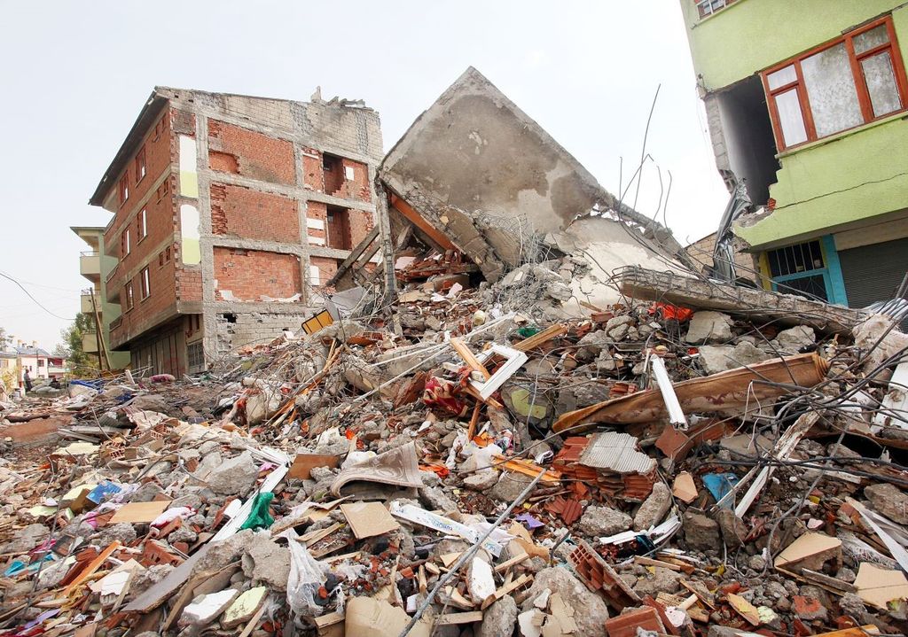
The last strong earthquake occurred only last year, when between 5 and 6 February 2023 a strong earthquake, 7.8 Richter, devastated the south-east of Turkey and the north of Syria, causing a real disaster: we are talking about around 60,000 victims, more than 121,000 injured and more than 5 million displaced people.

As we know, Turkey, together with Italy and Greece, is a country with a very high seismic risk. Almost all of Turkey has historically been affected by strong earthquakes, responsible for great devastation. The cause of this great exposure to seismic phenomena can be attributed to the many faults that border the Turkish plateau.
This is a contiguity of seismogenic structures as far as Armenia, Iran and the westernmost side of the imposing Himalayan chain (which, not by chance, are considered areas at high risk of strong earthquakes, even over 7.5 – 8.0 Richter).
The earthquake of February 2023
The last strong earthquake occurred only last year, when between 5 and 6 February 2023 a strong earthquake, 7.8 Richter, devastated the south-east of Turkey and the north of Syria, causing a real disaster: we are talking about around 60,000 victims, more than 121,000 injured and more than 5 million displaced people.
The epicentre of the earthquake was located near a triple junction between the margins of the Anatolian plate, the Arabian plate and the African plate. The fault rupture affected an area 190 km long.
1+1=2
— I_see_the_black_sun (@Iseetheblacksun) February 6, 2023
Fault system east of Anatolia is responsible for earthquakes in Turkey. The rupture should be of a considerable size and perhaps in several fault segments. There is no data for a similar earthquake in that area in our modern era + Turkey wants to leave NATO = HAARP pic.twitter.com/eXW3U9I7QW
To provide a comparison in terms of energy released, seismologists Alessandro Amato and Aybige Akinci, researchers from the Italian National Institute of Geophysics and Volcanology, estimated that the rift generated an earthquake about a thousand times more powerful than the first shock of the seismic sequence of Central Italy in 2016-2017. Thirty times more powerful than the 1980 Irpinia earthquake.
The great earthquakes of the past
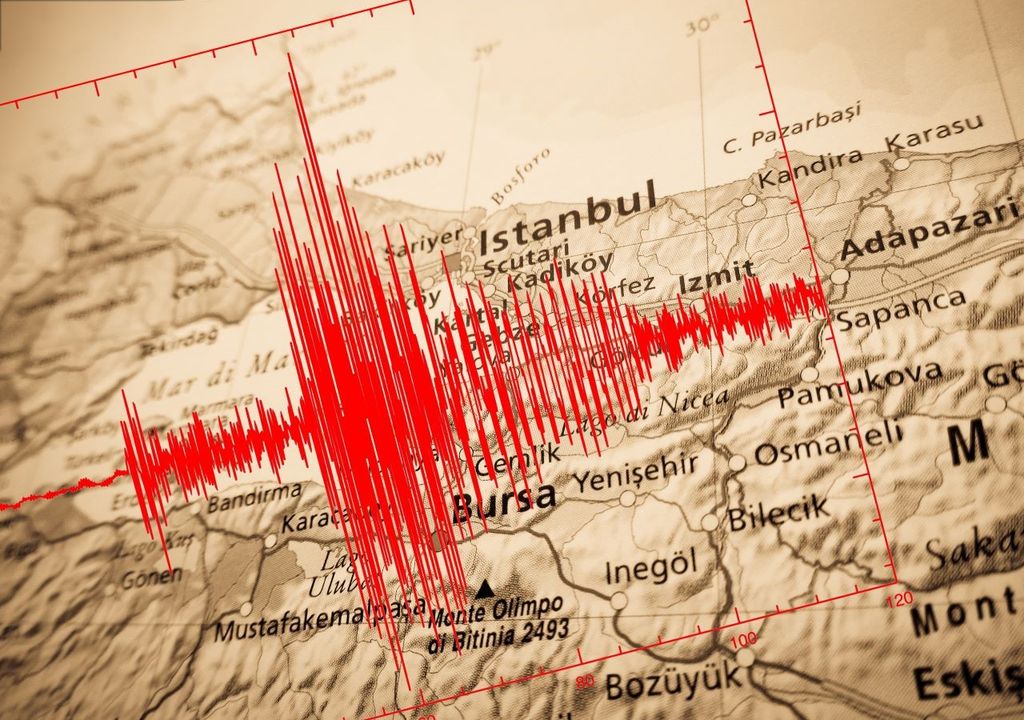
In addition to the recent disastrous earthquake of February 2023, Turkey has been affected by other very strong earthquakes, which have caused authentic natural catastrophes. One above all is the earthquake on 17 August 1999 which destroyed numerous cities on the western Turkish plateau. That earthquake was located along a fault belonging to the seismogenic structure of northern Anatolia, the better-known North-Anatolian fault, responsible for the serious disasters that cyclically plague Turkish territory.

More recently, in 2003, a 6.4 magnitude earthquake hit the south-eastern city of Bingol, causing over 177 deaths. In March 2010, an earthquake with an intensity of 6.0 Richter collapsed poorly built houses in five villages in the province of Elazig, also in eastern Turkey, killing 51 people. On 19 May, 2011, an earthquake with a magnitude of 5.9 Richter struck the western city of Simav, causing 2 victims and 79 injuries.
The earthquake was also felt in Istanbul, a megalopolis with a high seismic risk, so much so that Prime Minister Recep Tayyip Erdogan, then fresh off his election campaign, had promised to move two million inhabitants to peripheral areas to be transformed into less dangerously at-risk cities.
Characteristics of the North Anatolian fault system
The North Anatolian fault is divided into numerous segments, each of which is capable of generating strong earthquakes. Over the last sixty years the entire seismogenic structure has produced numerous seismic events.
The fault zone affected by the 1999 earthquake had already generated earthquakes in the past, in 1509 and 1754. The succession of seismic events observed in the last 60 years shows a clear progression of seismicity from East to West.
Note that the earthquake moved along the entirety of the east Anatolian Fault line (where Turkish nuclear power plant in Akuyu is being built). It has also already generated an earthquake on the western Anatolia plate. Asia Minor/Eastern Aegean Greek islands should be on alert. pic.twitter.com/cOq0s6qJKR
— SlowFlights (@FlightsSlow) February 6, 2023
These considerations had led to the conclusion that the area affected by the 1999 earthquake was a "seismic gap", i.e. an area with a high probability of the occurrence of strong seismic events.
The earthquake of 17 August 1999 therefore occurred in a known area, where the seismogenic faults had been recognised and where an event of this size could be expected. Unfortunately, current knowledge does not allow us to establish in advance when such a destructive event will occur.
However, this circumstance demonstrates how it is possible to have sufficient information to plan prevention works, such as the construction of houses and buildings that comply with all the basic anti-seismic standards, and to reduce the effects of earthquakes even if their short-term prediction is still an objective. distant.


