Torrential rains cause deaths and the destruction of the Chungthang dam in India: here are the images

The torrential rains of recent days, possibly combined with a glacial lake outburst flood, caused several deaths, landslides and significant material damage, including the destruction of the Chungthang dam.
More than 25 deaths have been officially confirmed - according to The Hindu newspaper - and many others are missing following a massive flood that may have resulted from the outburst of a glacial lake in Sikkim, India, in the early hours of October 4. The voluminous flow destroyed the Chungthang Dam, crucial for the Teesta 3 hydroelectric project, and rendered several hydroelectric projects along the river dysfunctional. What triggered this impressive event?
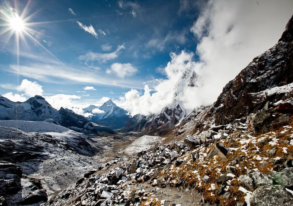
According to the NDMA (India's National Disaster Management Agency), “the main reason for the sudden rise in water appears to be a likely combination of excess precipitation and a Glacier Lake Outburst Flood (GLOF) event. The lake is located at an altitude of 5,200 metres, with an imposing ice floe at around 6,800 metres to the north and in the vicinity of the lake."
M. Mohapatra, Director General of the India Meteorological Department (IMD) said, speaking to The Hindu, that, "There was heavy rain in south Sikkim, but nothing extraordinary in the northern region". On the other hand, M. Mohapatra argues that it is not known for sure what happened because at such a high altitude, there is no control over precipitation.
Another suggestion was also proposed, much more far-fetched, but based on the hypothesis that a series of earthquakes that occurred in Nepal on October 3, during the afternoon - which shook the national capital Delhi - may have played an important role.

"There were two tremors in the afternoon and aftershocks until around 21:00 on the 3rd. The distance [to Lake Lhonak] is around 700 km, so it is theoretically possible that this could have been a triggering factor," said Kalachand Sain, Director of the DST-Wadia Institute of Himalayan Geology. "But without further study, it's all speculation."
The impressive destruction of the Chungthang dam
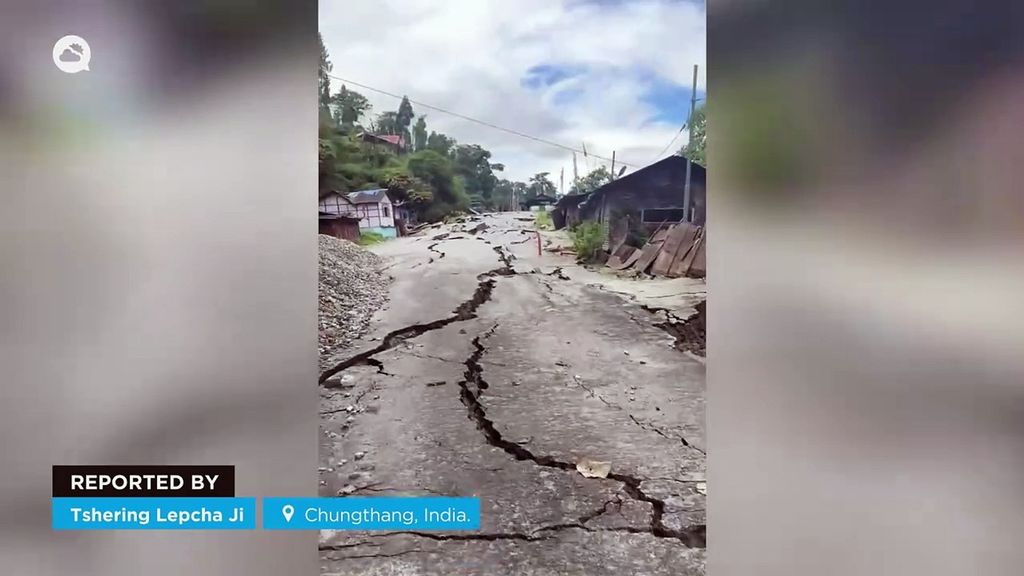
As seen in the video above, which brings together several images compiled by Meteored, the most visible consequence of the floods was the destruction of the Chungthang dam. Although it is not a storage dam, it routes water to power the Teesta 3 hydroelectric project. The executive chairman of Sikkim Urja, which manages the project, is quoted as saying that the dam was "swept away in 10 minutes".
Senior CWC officials say the dam is significantly damaged and that the amount of silt and water present has made it difficult to estimate the extent of the damage. According to the newspaper India Today, the city of Chungthang was the most affected by the floods and 80% of its area was seriously affected. NH-10 (national highway 10), considered the 'lifeline' of the State, suffered considerable damage in several places.
What is a GLOF?
Technically called a Glacier Lake Outburst Flood, these events are characterised by large lakes formed by melting glaciers that suddenly break free of their moraines - natural dams formed by rocks, sediments and other debris.
As reported by The Hindu, the South Lhonak glacier, located in northern Sikkim, is allegedly one of the fastest retreating glaciers. The glacier retreated by almost 2 km in 46 years, from 1962 to 2008. It further retreated by around 400 m from 2008 to 2019.
It is estimated that there are around 7,500 glaciers in the Himalayas and GLOFs have been associated with major disasters over the years. Among the Himalayan States in India, Sikkim has around 80 glaciers, more than any other state. Over the years, climatologists have warned that they could be responsible for lake outbursts.


